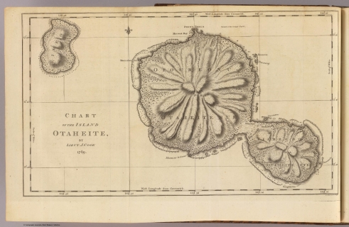
Visualizing Tahiti is a website designed to facilitate new ways of thinking about Enlightenment exploration, specifically on the Pacific island of Tahiti.
The digital and spatial humanities is a quickly developing field of research in which digital technologies and computational methods affect the creation, compilation, analysis, presentation, and archiving of humanities material. This project specifically seeks to understand the various European visions of eighteenth century Tahiti promoted by both written and visual representations.
Visualizing Tahiti employs three specific methods of “visualization.”
1. Visualizing Text: Spatial technologies map the movement of late eighteenth century explorers and their Tahitian counterparts around the islands and mark sites of interaction.
2. Visualizing Three-Dimensionally: Three-dimensional models recreate the structures built and encountered by Enlightenment explorers and provide comparison with drawings of the island circulated throughout Europe.
3. Visualizing Networks of Knowledge: Dynamic digital maps trace Joseph Banks’ extensive correspondence relating to Tahiti, Pacific exploration, and Captain James Cook.
This project was featured in an article on DukeToday in April 2012. The article can be accessed here.

